Population Data: Boston data
Key Boston Population Links
-
Census Data Main PageBest link to get to data.census.gov or the other tools the Census Bureau offers
Boston's First Census Tracts

Resources for finding population data for Boston
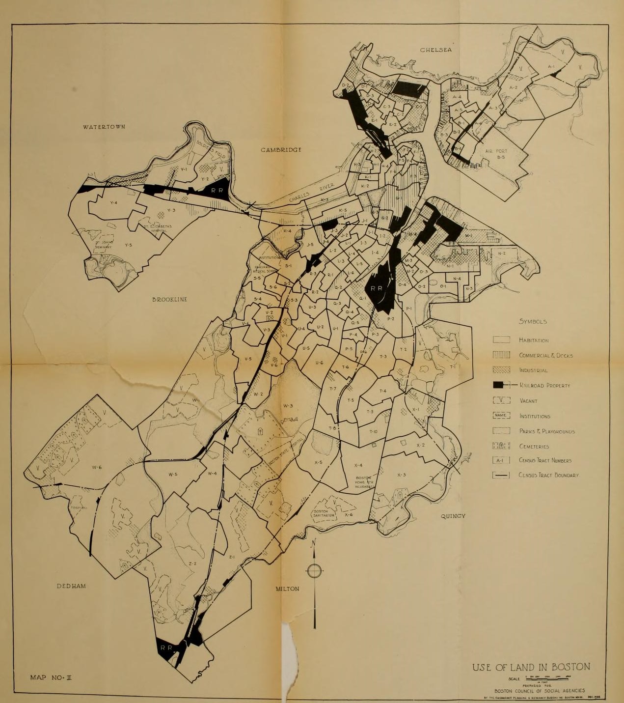
While it is possible to get data on Boston directly from the Census Bureau website, there have been publications that provide data. In 1930, a group called the Boston Council of Social Agencies produced a work called Social Statistics by Census Tract that provided information by neighborhood. Sadly, nothing was done for the 1940 Census. Between 1950 and 1980, United Community Services did analysis of the census for Boston and beyond, providing neighborhood statistics. In 1990, the Boston Redevelopment Authority began publishing analysis of the census including breakdowns by neighborhood.
For data gleaned from the federal census between 1930 and 1990 for Boston, the Boston Public Library has digitized published volumes.
For publications for Census 2000 and beyond, the Boston Planning & Development Agency's website would have information. Unfortunately, as of August 2015, the publications are housed in different parts of the site. Under "Neighborhoods," one can find, as expected, neighborhood data from Census 2010 along with the American Community Survey data from the 2005-09, 2007-11, and 2009-13 periods. Under "Population & Demographic," one can find data from Census 2010 along with ACS data from 2007-11 and 2005-09, along with some Census 2000 volumes and comparison volumes covering 1990-2000 and 1970-80 Censuses. These are by and large citywide, though the comparison volumes do give some neighborhood data. Under "Other," one can find data for Boston's Planning Districts from the 2000 and 2010 Censuses along with ACS data from 2007-11 and 2005-09.
Beyond that, one can go to the Census Bureau and use their data tools. Information on how to do that can be found in the U.S. Data tab.
Tools for Statistical Research of the Census for Boston
1930
Social Statistics by Census Tracts in Boston
1940
There has been no analysis of census statistical data done for Boston’s neighborhoods for this census.
1950
Social Facts by Census Tracts (Greater Boston)
Social Facts by Census Tracts (Boston)
1960
Social Facts by Census Tracts (Boston and Greater Boston)
1970
Social Facts by Census Tracts for Boston
Social Facts by Census Tracts… White, Black, Spanish
Social Facts by Census Tracts for Greater Boston (Acton to Medway)
Social Facts by Census Tracts for Greater Boston (Melrose to Woburn)
1980
1980 U.S. Census Data, Boston Areas: STF-1 & 3A
1990
The Library’s collections were affected by a flood in August of 1998. The following are what survived for 1990:
Neighborhood Statistical Series Reports by Planning District
“29 Page Profiles” of Planning Districts
City of Boston Zip Code Series
-
02108 (Central Boston)
-
02109 (Central Boston)
-
02110 (Central Boston)
-
02111 (Central Boston)
-
02113 (North End)
-
02114 (Beacon Hill)
-
02115 (Back Bay)
-
02116 (Back Bay)
-
02118 (South End)
-
02119 (Roxbury)
-
02120 (Roxbury)
-
02121 (Roxbury/Dorchester)
-
02122 (Dorchester)
-
02124 (Dorchester)
-
02125 (Dorchester)
-
02126 (Mattapan)
-
02127 (South Boston)
-
02128 (East Boston)
-
02129 (Charlestown)
-
02130 (Jamaica Plain)
-
02131 (Roslindale)
-
02132 (West Roxbury)
-
02134 (Allston)
-
02135 (Brighton)
-
02136 (Readville)
-
02146 (Brighton- excludes Brookline data)
-
02167 (Chestnut Hill- West Roxbury only)
-
02171 (Long Island- excludes Quincy Data)
-
02199 (Prudential Center)
-
02210 (South Boston/Fort Point Channel Area)
-
02215 (Kenmore Square)
-
Boston Population by Neighborhood, 1638-2010The statistics up to 1955 come from tables created in conjunction with the state census. From 1960 to 2010, the source is the Boston Redevelopment Authority. Boundaries do change over time.
-
Boston Population by Race, 1790 to 2010This is from the United States Decennial Census.